|
You
are here: /main/maps
and satellite images/satellite
images
Maps
and Satellite Images
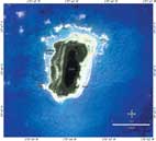
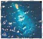
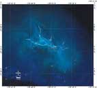
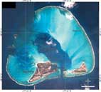
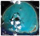
Satellite
Images - all are IKONOS imagery, except the Banks near French
Frigate Shoalks that is LANDSAT imagery.
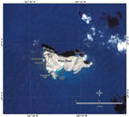
Nihoa
Island |
Mokumanmana |
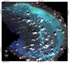
French
Frigate Shoals |

Banks
near FFS |
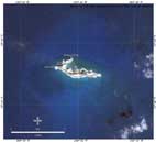
Gardner
Pinnacles |
Laysan
Island |
Lisianski
Island |
Maro
Reef |
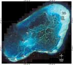
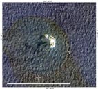
Pearl
and Hermes Atoll |
Midway
Atoll |
Kure
Atoll |
|
| |
|
|
<<Previous
Page
|